Pixal 3D · Seed Round · 2026
Raising $1.58M on a $8M
post-money SAFE.
Round size
$1.58M
SAFE · MFN · 18% discount
Validated
Sask Poly × Guelph × Olds College
Peer-reviewed co-research · 2 seasons
Instrument
SAFE
post-money · MFN · 18% discount
Valuation cap
$8M
post-money
Pro-rata rights
Yes
Series A allocation reserved
Min. cheque
$25K
angels · $100K funds (pro-rata)
Runway
24 mo
to Series A criteria
Target close
Jun 30 2026
rolling · first tranche open
Use of funds
Allocation · $1.58M
01
Team — agronomy, engineering, pilotsAgronomist, senior developer, 2× data scientists, geomatics / lead UAV pilot,
operating space — 24 mo
$1.026M
65%
02
Hardware — sensor & UAV fleet2×
DJI Matrice 400 platforms, 2× FigSpec FS64-C hyperspectral cameras (400nm – 1700nm),
batteries, field vehicle
$224K
14%
03
Research partnershipsOlds College 3,000-acre
smart-farm access + Gateway Research Organization agronomy network
$166K
11%
04
Cloud & consumablesAWS training + inference
compute, Innotech clubroot inoculum for ground-truth plots
$88K
6%
05
Reserve & contingency5% contingency per cost
model
$75K
5%
Σ
Total raise
$1.58M
100%
Value unlocked by your investment
24-month targets
6 / 69
ASB customers by 2028
From the Leduc County pilot to 6 of Alberta's 69 municipal Agricultural
Service Boards under paid contract by end of 2028 — the entry cohort for a customer
base that doubles annually toward full-province penetration by 2032.
$980K
2028 revenue run-rate
NWIPC recurring ($530K) + the first ASB cohort of 6 at $75K. The $1M
threshold crosses in 2029 as the ASB cohort doubles to 12 ($1.43M) — a Series A
qualification data point, carried by a mandated, recurring government buyer base.
5+
Pathogens in the proprietary library
Two seasons of hyperspectral flights expand the diagnostic moat
beyond clubroot into sclerotinia, fusarium head blight, verticillium stripe, and other pathogens of
economic significance. Each flight compounds a labeled spectral corpus competitors cannot replicate
— the library becomes the product.
Why now
01
Hyperspectral escaped the lab
A decade ago, HSI required benchtop spectrometers under controlled light. Sensors
have since miniaturized while drones have gained payload, flight time, and RTK precision
— bringing lab-grade spectral fidelity into the field. That hardware curve has now
converged with production-ready ML inference, unlocking what was structurally impossible
five years ago.
02
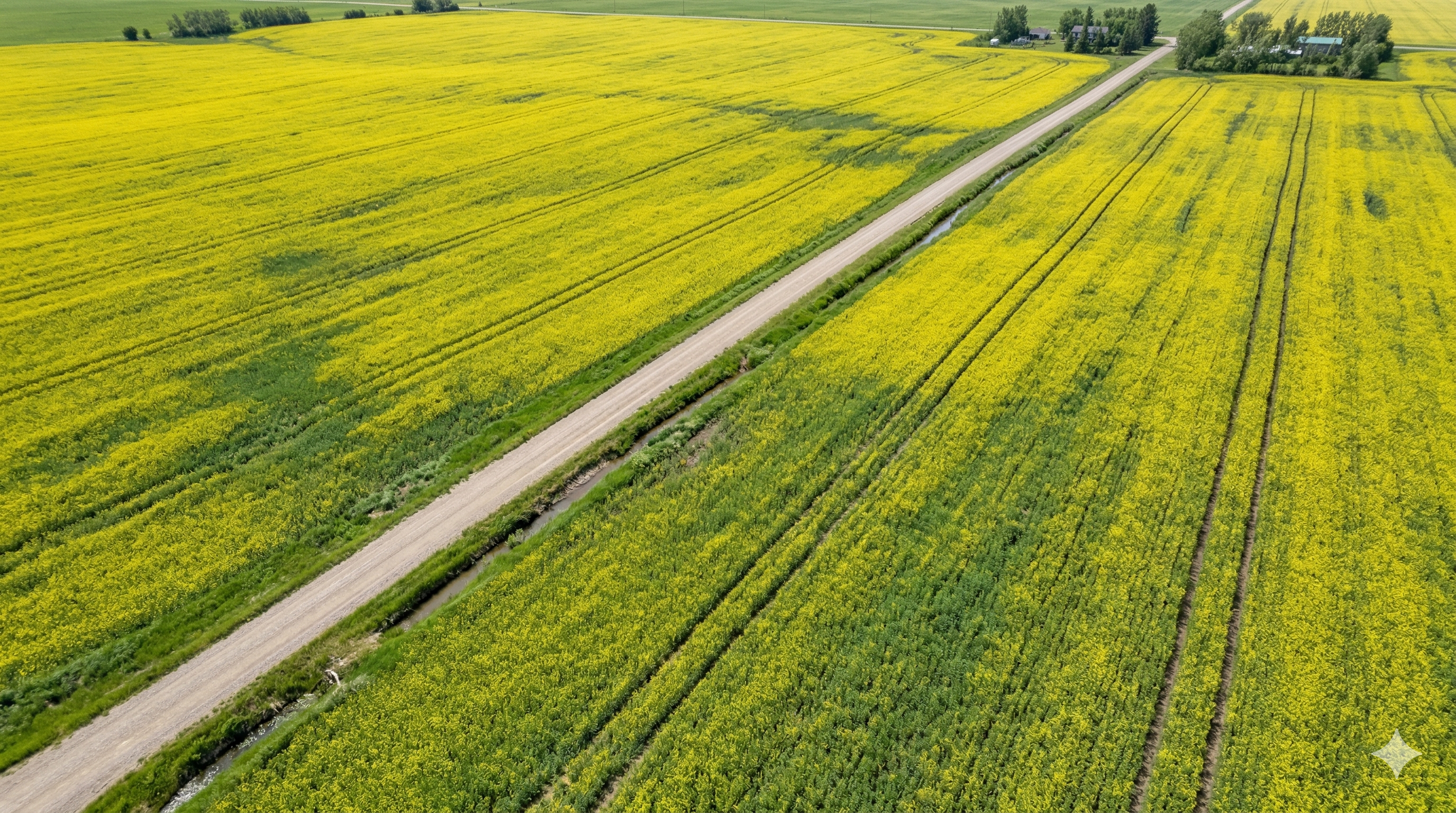
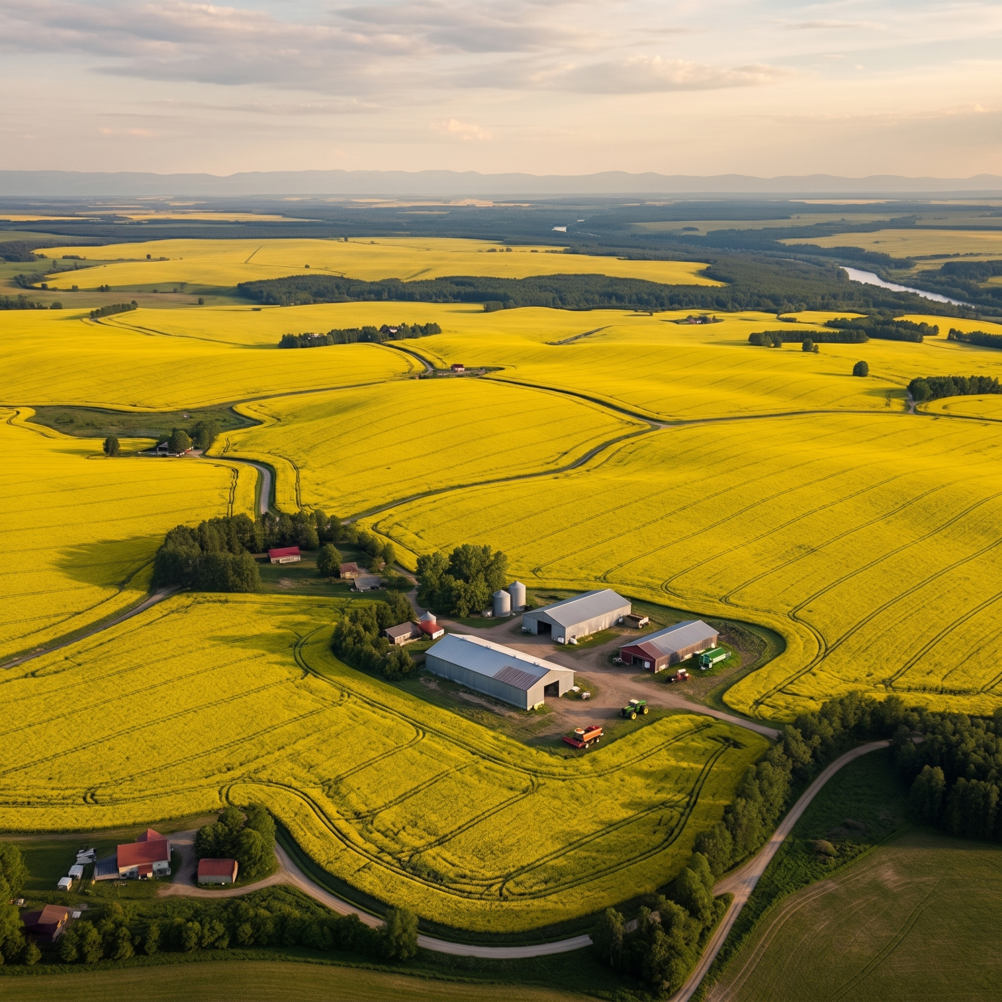
Disease pressure is accelerating in the launch market
Clubroot confirmed in 42+ Alberta municipalities. Sclerotinia symptomatic in >90%
of surveyed canola fields. The diagnostic gap widens every season.
03
Policy and commercial pull align
Alberta's Agricultural Pest Act makes clubroot a regulated
pathogen that all 69 Pest Act municipalities must monitor and report — but no
field-scale diagnostic tool exists to satisfy the requirement. Pixal 3D is the first.
04
Input costs are forcing precision adoption
Agricultural input costs have risen roughly 70% over the past five
years. Margin pressure is flipping grower psychology from blanket-and-hope spray
programs to actively seeking diagnostics that cut chemical use — precision disease maps
pay back on every pass.